
Overview
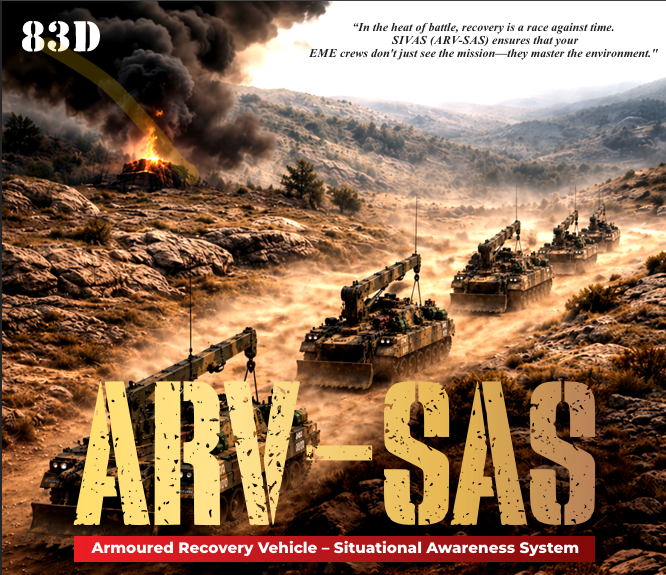
The ARV – Situational Awareness System (SAS) is a battlefield digital command-and-control solution that provides real-time tactical visualization, secure communications, and Blue Force Tracking for armoured formations, infantry, special forces, and command headquarters. By integrating mesh-networked digital radios, Android-based situational awareness displays, and GPS-enabled tracking, the system delivers a Common Operational Picture (COP) even in communication-denied or GPS-challenged environments.
The solution addresses critical operational challenges such as limited battlefield visibility, delayed asset location, fragmented communications, electronic warfare (EW) jamming, absence of safe-route information, manual asset tracking, and slow decision-making cycles (OODA Loop). It enables commanders to maintain 360° battlefield awareness, coordinate manoeuvres in real time, exchange tactical overlays and orders, monitor vehicle health, and digitally log battlefield events.
Download Product Brochure
Overview
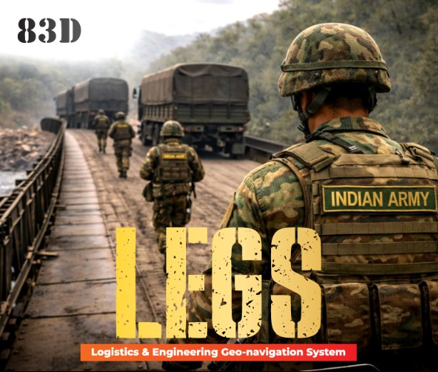
LEGS (Logistics & Engineering Geo-navigation System) is an advanced digital platform designed to enhance military logistics, engineering operations, and battlefield navigation. It provides real-time situational awareness by integrating geospatial intelligence, route planning, hazard mapping, and resource tracking into a single, secure solution.
Built to support faster decision-making and improved operational efficiency, LEGS enables commanders and field units to navigate complex environments safely, coordinate engineering tasks effectively, and manage critical logistics with confidence.
Download Product Brochure
Overview
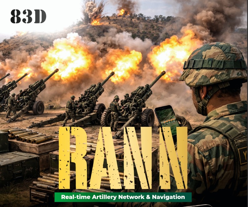
The RANN – Resilient Adaptive Navigation Network is a tactical navigation and battlefield networking solution designed to provide resilient positioning, secure communications, and real-time situational awareness for dismounted soldiers, combat vehicles, and command headquarters. By integrating mesh-networked tactical radios, GPS/GNSS, inertial navigation, ATAK compatibility, and Blue Force Tracking, RANN enables continuous navigation, digital collaboration, and a shared operational picture in contested, communication-denied, and GPS-challenged environments.
The solution addresses critical operational challenges such as GPS denial and spoofing, fragmented battlefield communications, limited force visibility, delayed location reporting, and unreliable navigation in electronic warfare environments. RANN enables commanders and field units to exchange position data, share tactical routes and mission overlays, maintain secure peer-to-peer communications, coordinate manoeuvres in real time, and sustain operational effectiveness even when conventional navigation and communication systems are unavailable.
Download Product Brochure

Overview
The RANA – Real-time Armoured Navigation & Awareness system is a battlefield navigation and situational awareness solution designed for armoured formations. It provides commanders and vehicle crews with real-time tracking, secure communications, Blue Force Tracking, and coordinated battlefield awareness by integrating GPS-enabled positioning, mesh-networked digital radios, and Android-based tactical displays into a unified operational platform.
The solution addresses critical operational challenges such as limited battlefield visibility, lack of integrated vehicle health reporting, dependence on fragmented communication channels, poor navigation in contested environments, and delayed operational coordination. RANA enables commanders to monitor the real-time location and status of armoured vehicles, exchange tactical information, coordinate manoeuvres, and maintain a Common Operational Picture across the force. Its secure mesh networking architecture supports resilient communications, improves mission effectiveness, and enhances operational decision-making in dynamic battlefield environments.
Download Product Brochure
Overview
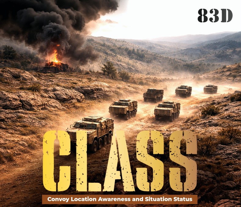
The CLASS – Convoy Location Awareness and Situation Status system is a tactical convoy tracking and situational awareness solution designed to provide real-time convoy visibility, secure communications, and location monitoring for military logistics and transport operations. By integrating mesh-networked digital radios, GPS-based location tracking, and a distributed ad-hoc networking architecture, CLASS enables commanders and convoy operators to maintain continuous visibility, exchange operational information, and monitor convoy movements in real time
The solution addresses critical operational challenges such as loss of formation integrity, delayed location reporting, convoy communication gaps, limited situational awareness, and slow operational decision-making. CLASS enables users to maintain convoy connectivity beyond line of sight, monitor vehicle locations through a Common Operational Picture, support rapid convoy coordination, and improve operational responsiveness through continuous real-time tracking and secure data exchange. Its resilient mesh networking architecture ensures reliable convoy operations even in dynamic and communication-constrained environments.
Download Product Brochure.